Rivermaps
Guide to the San Juan River in Utah
Guide to the San Juan River in Utah
Couldn't load pickup availability
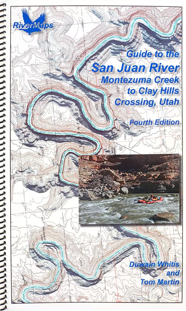
Guide to the San Juan River, Montezuma Creek to Clay Hills Crossing, Utah
ISBN 978-1-7324017-6-1.
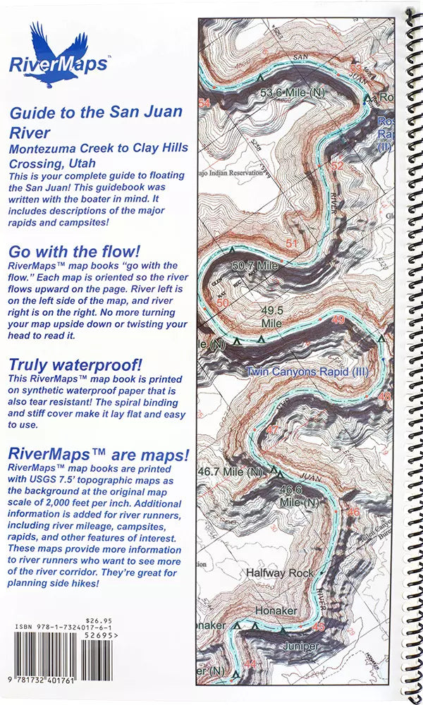
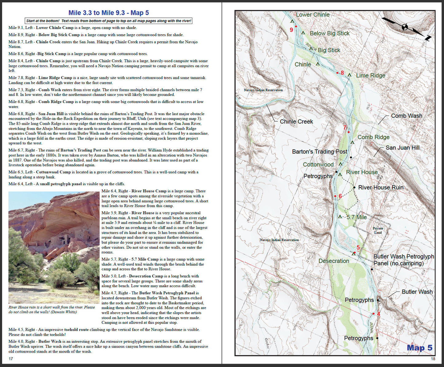
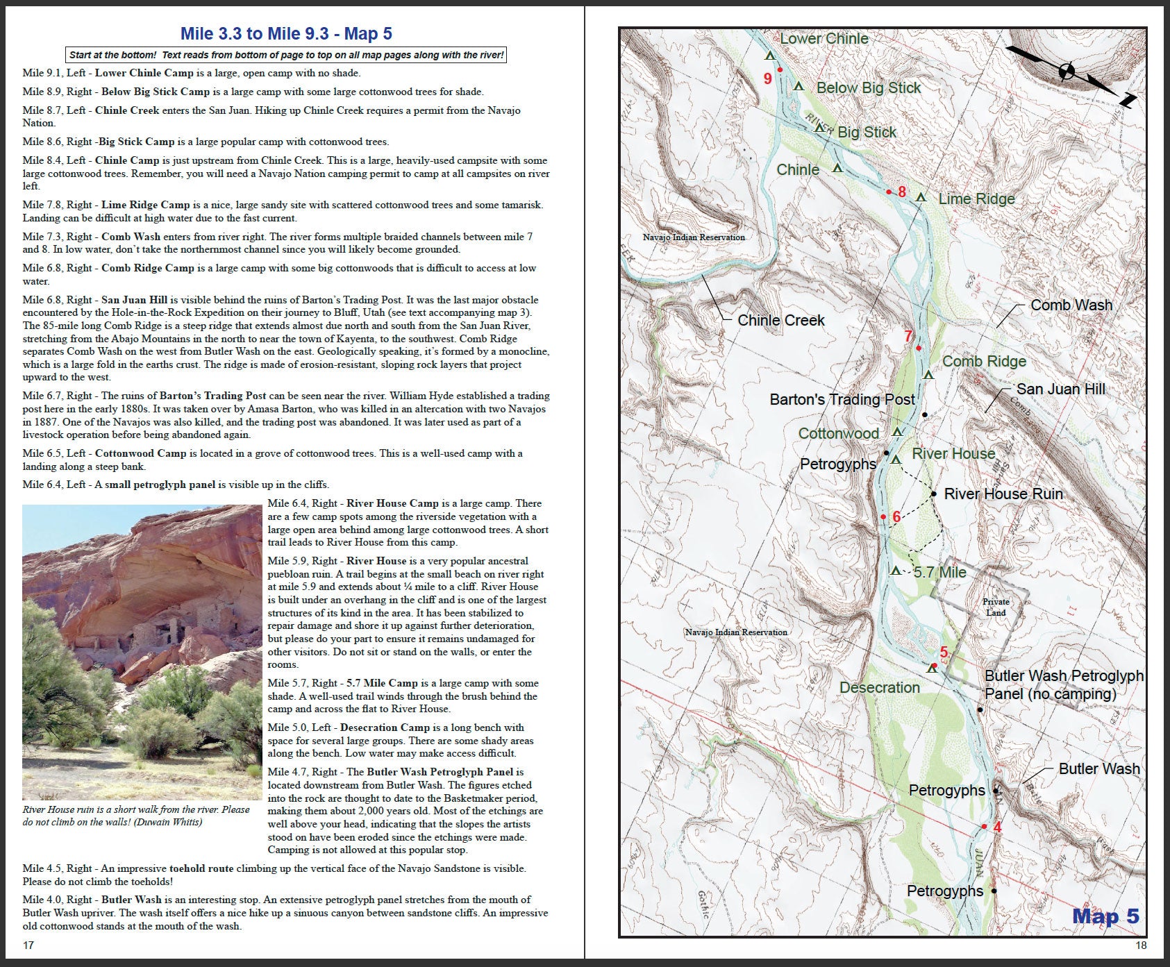
34 pages with 14 maps, 103 miles, all color photographs and shaded topographic relief.
Errata & Revisions
We will make corrections in future printings of our books when we become aware of needed revisions.
The following changes to the Third Edition will be incorporated in a future edition:
ADD: Mile 1.5, Right – 1.5 Mile Camp is a large low and medium water level campsite just before the river bends to the west. You may have to share this campsite with cattle and car campers as a rough dirt road reaches the river here. Riverside vegetation here offers some wind protection. This camp may be hard to access at very low water due to a sandbar.
REMOVE: 1.7 Mile Camp (Right) - This camp no longer accessible due to fallen cottonwood trees.
MODIFY: 2.2 Mile Camp (Right) – This camp is up a steep bank at low water.
ADD: Mile 2.5, Left - 2.5 Mile Camp is a large, open, low-water sandbar camp.
ADD: Mile 2.7, Right – 2.7 Mile Camp is a large camp up a steep bank. There is protection from the wind in the riverside vegetation.
ADD: Mile 3.5, Right – 3.5 Mile Camp is a large, open, low-water camp on a gravel bar.
ADD: Mile 5.3, Left – 5.3 Mile Camp is an option if low water blocks the access to the Desecration camp. Access to this large camp is up a steep bank.
ADD: Mile 5.4, Right – 5.4 Mile Camp is a large camp up a steep bank with strong current at the landing. There is protection from the wind in the riverside vegetation.
ADD: Mile 6.8, Left - 6.8 Mile Camp is a large camp among mature cottonwood trees. It is inaccessible at low water.
ADD: Mile 8.1, Left – Upper Chinle Camp is a large camp with little wind protection. It is accessible at all water levels
MODIFY: Below Big Stick Camp (Mile 8.9, right) - This camp is up a steep bank at low and medium flows.
ADD: Mile 9.5, Left – Mule Ear Camp is a large camp with wonderful afternoon shade and lots of vegetative cover. It is accessible at medium to high-water.
ADD: Mile 15.7, Right – 15.7 Mile camp is a low-water medium sized camp on an exposed sandbar.
ADD: Mile 19.6, Left – Lower Ledge Camp is a large camp up a steep bank.
MODIFY: 20.5 Mile Camp (left) – The BLM refers to this camp as “Stairmaster”.
ADD: Mile 24.9, Right – 24.9 Mile Camp is a large camp with no wind protection.
REMOVE: 29.7 Mile Camp (right) – This site has not been used for camping in many years.
ADD: Mile 34.9, Left – 34.9 Mile Camp is a small camp at the downstream end of a riffle.
MODIFY: 37.7 Mile Camp (right) – The tamarisk died, so there is no shade here.
ADD: Mile 49.5, Right – 49.5 Mile Camp has a large low water sandy beach. This camp is medium sized at medium and high water.
ADD Mile 53.6, Left – 53.6 Mile camp is a little-used medium camp up on a windswept, long, thin, and high bank.
ADD: Mile 56.3, Left – Mile 56.3 Camp is located on a large high bench that appears to be rarely used. There is no protection from the wind.
ADD: Mile 60.1, Right – 60.1 Mile Camp is good for low to medium water levels. It is on smooth polished limestone with some sand. A few giant boulders provide shelter from the wind.
ADD: Mile 60.2, Left – 60.2 Mile Camp has a large open area on a high bench with a steep bank.
ADD: Mile 61.3 - New rockfall lodged a large boulder in midstream at this debris fan rapid. The run is left against the wall at low water and it's a tight fit.
ADD: Mile 61.4, Right – 61.4 Mile Camp is a large camp good for all water levels. It is at the foot of a side canyon debris fan and is open and sandy at low water. The higher the water, the smaller the camp gets. There is no protection from the wind here.
ADD: Mile 61.9, Left – 61.9 Mile Camp is a small camp under a rock overhang. Access is up a steep bank at low water.
ADD: Mile 63.0, Right – 63 Mile Camp is a rarely used large camp on the downstream end of a debris fan. It is suitable for all water levels but has no protection from the wind.
MODIFY: Trimble Camp (mile 72.0, left) – Delete the sentence "It is unusable at the time of this writing, but it may stabilize and become campable in the future." This has, in fact, occurred.
Digital Map
Scan the QR Code below to download the supplementary Avenza digital map with GPS waypoints.
Avenza Map Bundle for the San Juan River

Our Guide Books
Our spiral-bound guide books are offset-printed on plastic pages. The covers are plastic card stock. The entire books are waterproof and tear resistant (but not indestructible!). Our guide books include mile-by-mile descriptions of campsites, rapids, and points of interest and include many photographs.
Care of Your Books
You can write on dry plastic pages with an indelible marker like a Sanford Sharpie. If your offset printed map or guide book gets wet, don't worry! It can stay wet without damage. You will eventually want to dry it out with a rag or by turning and air drying each page. The pages usually won't stick, but... Don't cook your books! We have seen some books with pages that stick, especially where the ink is heavy over photographs. The only way we are able to reproduce this effect is to let a wet book dry for an extended time in the hot sun. You should avoid leaving your book in the direct sun or a hot vehicle or trailer for any longer than necessary. Day-to-day use in the sun while on the river has never been a problem that we've seen. Don't freeze your books! We have seen books that were wet and frozen lose some of their ink and underlying coating that holds the ink to the plastic page. If your book is wet and frozen, we suggest either letting it defrost or dipping it in the river for a minute to melt the ice and allow the pages to separate.
