Welcome to RiverMaps™
We publish and sell map and guide books for rivers in the Western United States that offer multi-day whitewater boating opportunities. We're working to add additional rivers every year, so let us know if there's one you want us to include!
LATEST NEWS
-
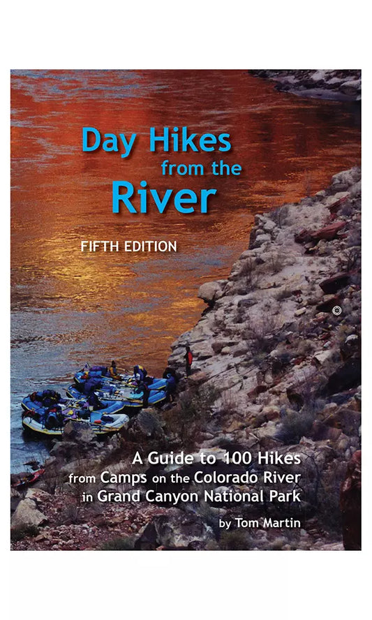
Day Hikes from the River
Regular price $21.95Regular priceUnit price per$0.00Sale price $21.95 -
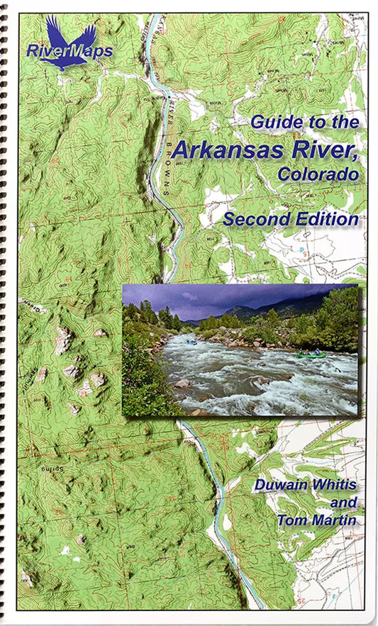
Guide to the Arkansas River in Colorado
Regular price $29.95Regular priceUnit price per$0.00Sale price $29.95 -
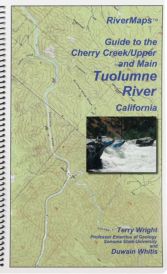
Guide to the Cherry Creek/Upper and Main Tuolumne River in California
Regular price $21.95Regular priceUnit price per$0.00Sale price $21.95 -
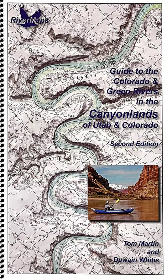
Guide to the Colorado & Green Rivers in the Canyonlands of Utah & Colorado
Regular price $35.95Regular priceUnit price per$0.00Sale price $35.95 -
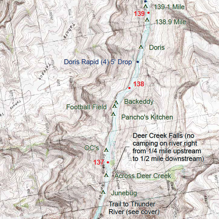
Guide to the Colorado River in the Grand Canyon
Regular price $35.95Regular priceUnit price per$0.00Sale price $35.95 -
Guide to the Dolores River of Colorado & Utah
Regular price $37.95Regular priceUnit price per$0.00Sale price $37.95 -
Guide to the Escalante River in Utah - PDF Download
Regular price $5.00Regular priceUnit price per -
Guide to the Green and Yampa Rivers in Dinosaur National Monument
Regular price $31.95Regular priceUnit price per$0.00Sale price $31.95